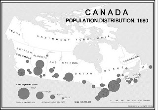
A proportional circle map, such as the one above, uses circles for symbol size discrimination, rather than magnitude estimation. "The cartographer selects a symbol form, and varies its size from place to place, in proportion to the quantities the symbol represents. The map reader forms a picture of the quantitative distribution by examining the pattern of the different sized symbols."
No comments:
Post a Comment