http://www.oregongeology.org/sub/projects/olc/#what
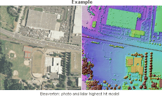
The right is a LIDAR photo of Oregon. "Lidar (light detection and ranging) is a new tool that can provide very precise, accurate, and high-resolution images of the surface of the earth, vegetation, and the built environment."
No comments:
Post a Comment